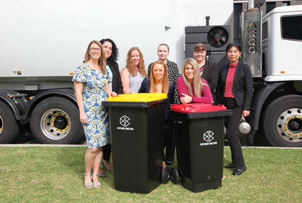
Image: Dan Markeye
Queensland’s Noosa Shire Council has teamed up with Spectrum Spatial Analyst company Pitney Bowes Inc to deliver local residents with improved public access to council information using online mapping services.
Through the implementation of the spatial software, locals can now access maps of a complete range of local community information and services.
It’s a handy tool for locals that allows them to easily search for, and accurately locate, council services including property information, planning scheme zones, flood zones and fire hazards, public transport and bike paths, bin and recycling collection days, and emergency information such as evacuation centres and routes.
The area is an attractive place for tourists, which requires easily accessible information for those who may be unfamiliar with the area. As a solution, the software also enables visitors to access tourist information such as the location of WiFi access points, parks, playgrounds, beach access, surfing and fishing spots, and boat ramps.
Although the software benefits the local community, it also has an effect on internal council operations because of its nature as a self-service solution. The council has reported that it has increased internal productivity by significantly reducing the amount of calls the customer service line receives.
For a council that oversees 56,000 residents and manages more than $960 million worth of community assets, this lifts a heavy burden of effort on council resources.
Noosa Shire Council’s ICT manager, Justin Thomas, said the council has also seen some savings from the use of the software.
“The software solution can be hosted in the cloud, which means tremendous cost savings for the council,” he said.
The information available through the software can be accessed 24/7 via mobile devices, promoting increased community engagement and satisfaction.


