Image: Magnus D
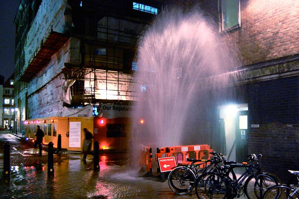
One of the most frustrating tasks if you’re attempting a DIY plumbing repair job is trying to find an elusive crack that’s spraying out like a water pistol, ripping out the kitchen foundation and sealing it off with a set of putty and specialised tape.
But the Victorian government reckons it can find water leaks from space.
Certainly not the kind you’re likely to find in your own household, but leaking water mains can be observed through technology that uses satellite imagery taken 650km above the earth to detect drinking water in the ground.
According to the government, several images are taken over a few weeks, and analysed to identify the spectral ‘signature’ of drinking water. The imagery is then laid over GIS maps of pipe networks to pinpoint potentially leaking pipes.
If an area identified on the satellite image as containing drinking water matches up with the pipe network map, field crews can then go in to check for a leak.
The state government is supporting a trial with the technology through the Intelligent Water Networks Program (IWN), which is a partnership between the Department of Environment, Land, Water and Planning, and the state’s 17 water corporations and industry peak body VicWater.
The pilot project involves Western Water, City West Water and Yarra Valley Water and covers a geographical area of more than 3,000 square kilometres.
After two months of compiling satellite imagery, field validation of leak sites began in February.
Minister for Environment, Climate Change and Water Lisa Neville said the water industry estimates up to 160 million litres of drinking water is lost each day in Victoria to leaks, so finding better ways to detect and fix leaks is critical.
“Investing in innovation in this area has the potential to save millions of litres of precious drinking water every day, benefiting the whole community,” Ms Neville said.
She said this project is one of many currently under way to investigate how we can use new technologies for greater efficiency in the water industry.


